


Let your friends know you're going?
About
Want to help map your local area and improve open source GIS data?
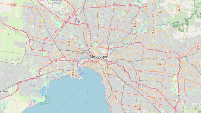
For this event we will be selecting a couple of mapping tasks in OpenStreetMap in and around Melbourne.
We are still finalising the list, so if you have any suggestions please let us know!
All training will be provided. No prior experience is required. Both experienced and first-time mappers are welcome.
Nourishment in the form of free pizza will be provided! Vegan & vegetarian options will be available.
Many thanks to our friends over at OSGeo Oceania for sponsoring this event! They're a fantastic, active group in the geospatial arena who aim to foster the growth of the geospatial open source & open data community in the Oceania region. Find out more information here: https://www.osgeo.org/local-chapters/oceania/
Also many thanks to RMIT University for very kindly allowing us to use their space.
***How to prepare***
Please bring your own laptop (a mouse is also highly recommended). Computers are not provided.
There is no need to install any software beforehand.
Read More
Comments

No comments yet. Be the first to comment!
Mapping Melbourne in OpenStreetMap
Thursday, November 28, 2019
7:00 AM - 9:00 PM
Registration
7 seats left


28 people going