About
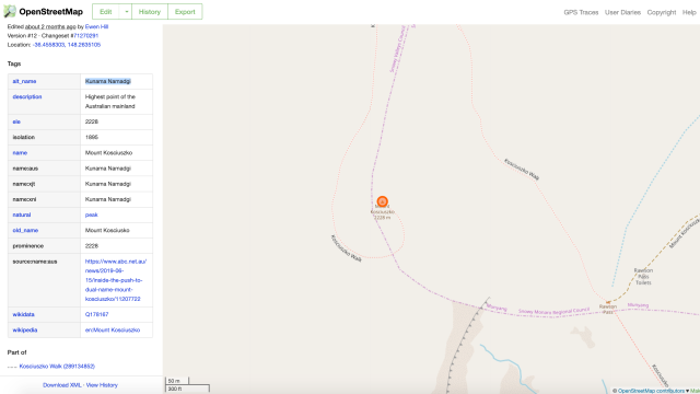
In this meetup we will be using a government dataset of indigenous place names to edit a digital map of Australia. We will hear from people with many years experience in mapping and indigenous affairs, before going hands on with a digital map called OpenStreetMap. OpenStreetMap is a free, open source and editable map of the world that serves as a data source for Amazon, Apple Maps, Facebook, Médecins Sans Frontières, The Red Cross, Uber and many other organisations. By adding indigenous place names to OpenStreetMap, you give many of these platforms and others the option to build maps that show some of the original names for locations across Australia.
You will need a laptop computer to get the most out of this workshop. It is recommended that you bring a mouse as well. An iPad or Android tablet can also work, but will not be as suited to the task.
Comments

Indigenous Naming - Mapping original place names from government datasets