About
Maptime Melbourne has partnered with the Global Health Alliance Melbourne, The Burnet Institute and Global Ideas to map malaria affected areas in Papua New Guinea. This event will focus on a Humanitarian OpenStreetMap task in the town of Keravat on the island of New Britain.
We'll be showing you how to add buildings and roads to the map using OpenStreetMap. No prior mapping experience is necessary as we will walk through all the basics in the beginning.
You will need to bring your own laptop to participate as it is a hands-on workshops. A mouse is highly recommended as well as it makes map editing a lot more efficient.
NOTE: Due to a limited number of spots, we require that participants register via this link (https://www.trybooking.com/book/event?eid=385690&;).
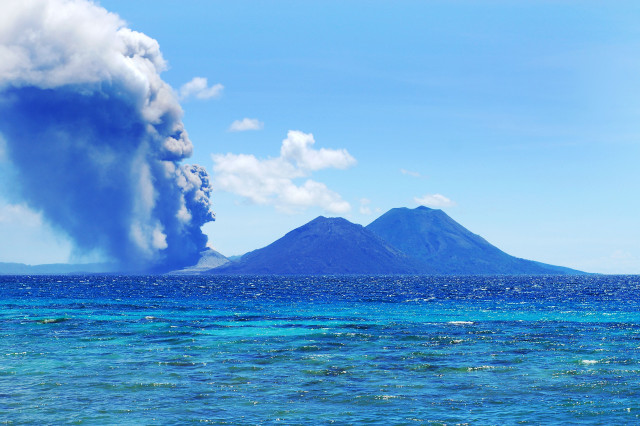
Image credit belongs to David Bacon. You can see his Flickr album here (https://www.flickr.com/photos/88657298@N00/albums/72157601578941266).
Image license is CC BY 2.0 (https://creativecommons.org/licenses/by/2.0/).
Comments

Malaria Mapathon